Chapter 1: Introduction
Learning Objectives
Understanding OpenStreetMap
Understanding Data Collection Purposes
Information is important. With good information and the right understanding, individuals and communities are better able to improve their lives and make good decisions about the future. There are many people and organizations who make decisions that affect our lives. Good information allows these NGO’s (non-government organisations), governments and communities to make better decisions, and hopefully make our lives better.
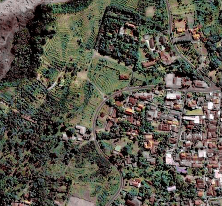
Satellite Imagery
Maps are a good way to deliver information. Maps are visual symbols ofour world. They can often demonstrate an idea better than words. This in turn can help us answer important questions. Where is the closest school or hospital? Who has the least access to these facilities? Where is poverty the most problematic? Questions like these can often best be expressed with maps, and maps can help find solutions to these questions.
As an exercise, get a pen and paper and draw a map of your town or village. What are the most important things to include on the map? What is the most important information? Spend a few minutes making your map, and when you’re finished, think about why the information you included is important, and who it might be important to.
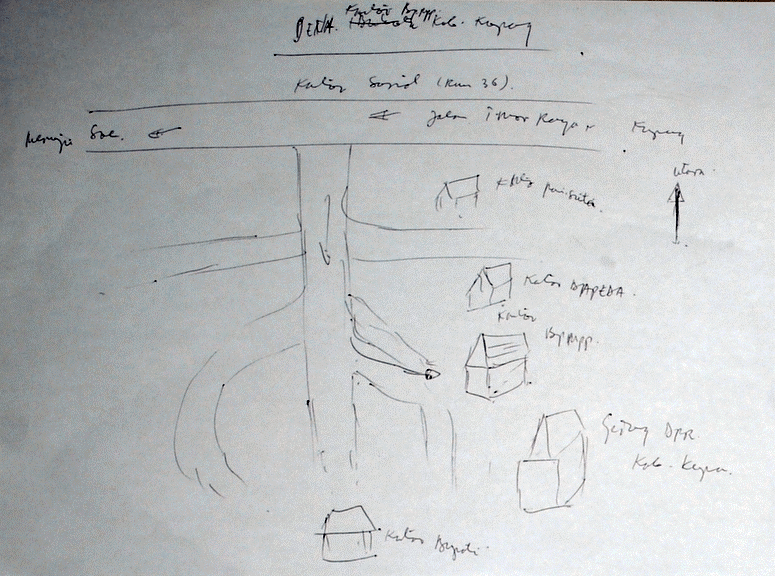
Example of Paper Map
If your town is like most, you may have drawn some lines to represent roads, possibly a river or stream. Perhaps you added important buildings such as schools and offices, fields, or boundaries. Whatever you drew, you probably used symbols – a line to symbolize a road, a square to symbolize a building, and so on. Your map is a representation of what is on the ground.
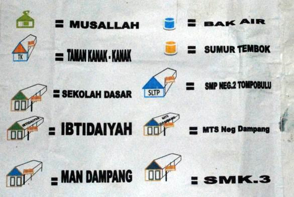
Example of Symbols that be used in Map
Your map is informative. You might use a map like this to explain to someone where different places are, where problems are in your community, or merely to help someone find their way around. The use of your map is limited though - there is only one copy of the map. The way you drew it may make sense to you, but perhaps not to someone else who would have drawn their own map in a different way. Because your map is merely on paper, it is difficult to get that information to others. This is why making your map on a computer, in such a way that anyone can access it, can be much more valuable.
Digital Map
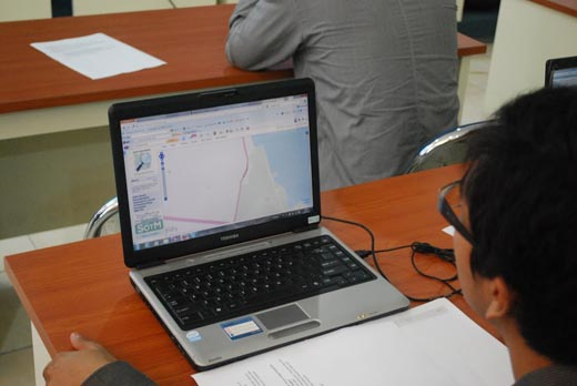
OpenStreetMap is a tool for creating and sharing map information. Anyone can contribute to OSM, and thousands of people add to the project every day. Users draw maps on computers, rather than paper, but as we will see in this guide, drawing a map on a computer is not all that different from drawing on paper. We still draw lines to represent roads, fields and anything else and we still represent schools and hospitals with symbols. The important thing is that OSM maps are saved on the internet, and anyone can access them at any time. Most importantly, the data are free.
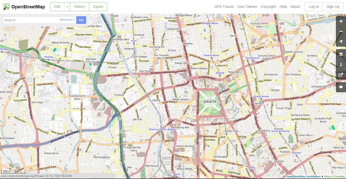
OpenStreetMap
We hope that you will find OpenStreetMap useful and interesting in your work and activities. By following this guide, you should be able to quickly learn start making digital maps with OpenStreetMap.